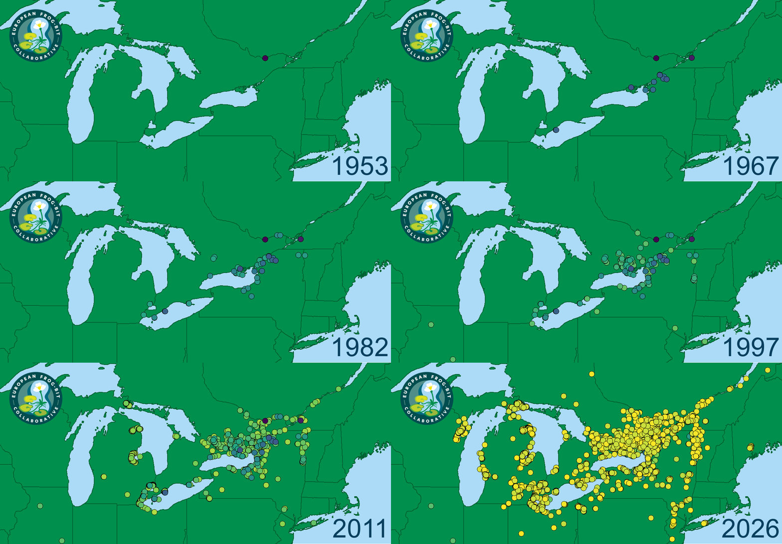
Interactive Map of EFB Spread Over Time
Author: European Frog-bit Collaborative
Year: 2026
Shareability:
Type: Graphic, Tool
Topic: Dispersal, Monitoring/ Sampling
This interactive map allows you to see where EFB has invaded since 1950 using a variety of data sources. See the map’s “?” button for more information.
Link to interactive map
Animated GIF of these observations over time through August 2026: